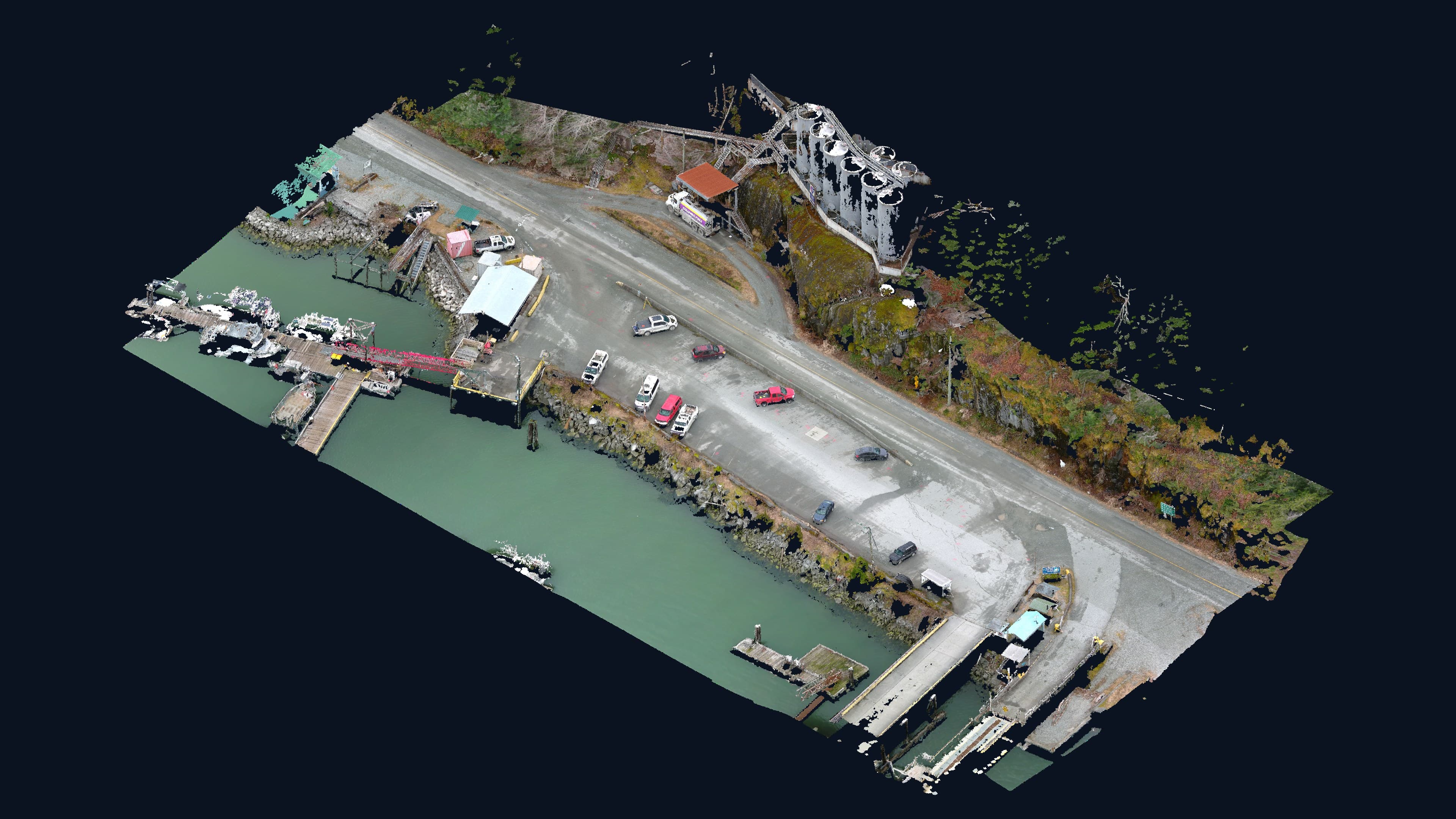
Comox Valley · Vancouver Island
Vancouver Island
Geomatics
Precision data. Local knowledge.
Stronger communities. Smarter decisions.
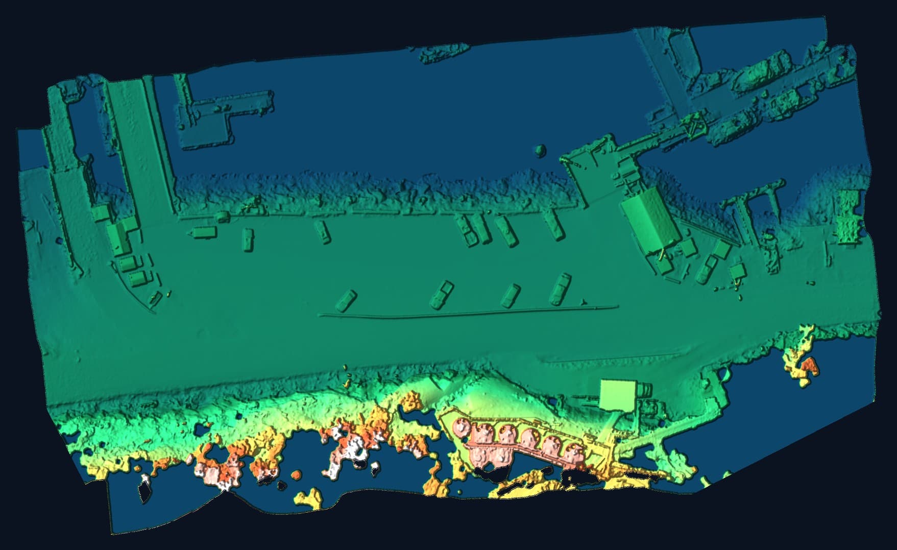
LiDAR elevation model
Every metre of the site, measured.
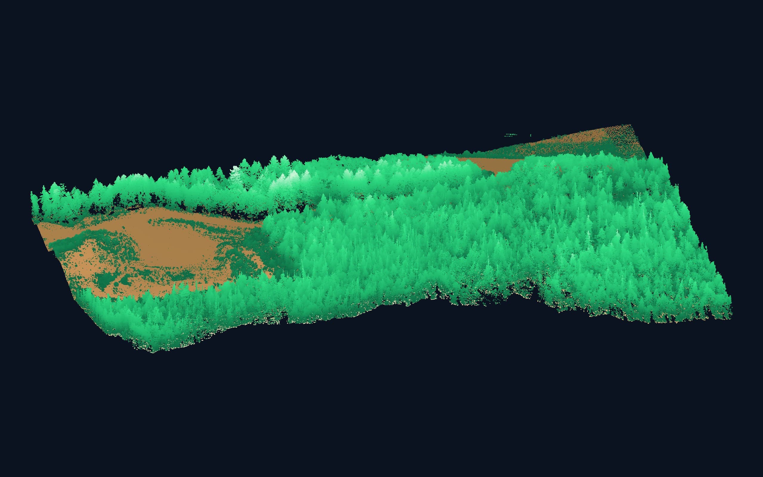
A drone LiDAR surface model coloured by elevation, from the water to the tank farm on the bluff, every structure, boat and tree captured at 10 cm.
What We Do
Surveying. Mapping.
Solutions.
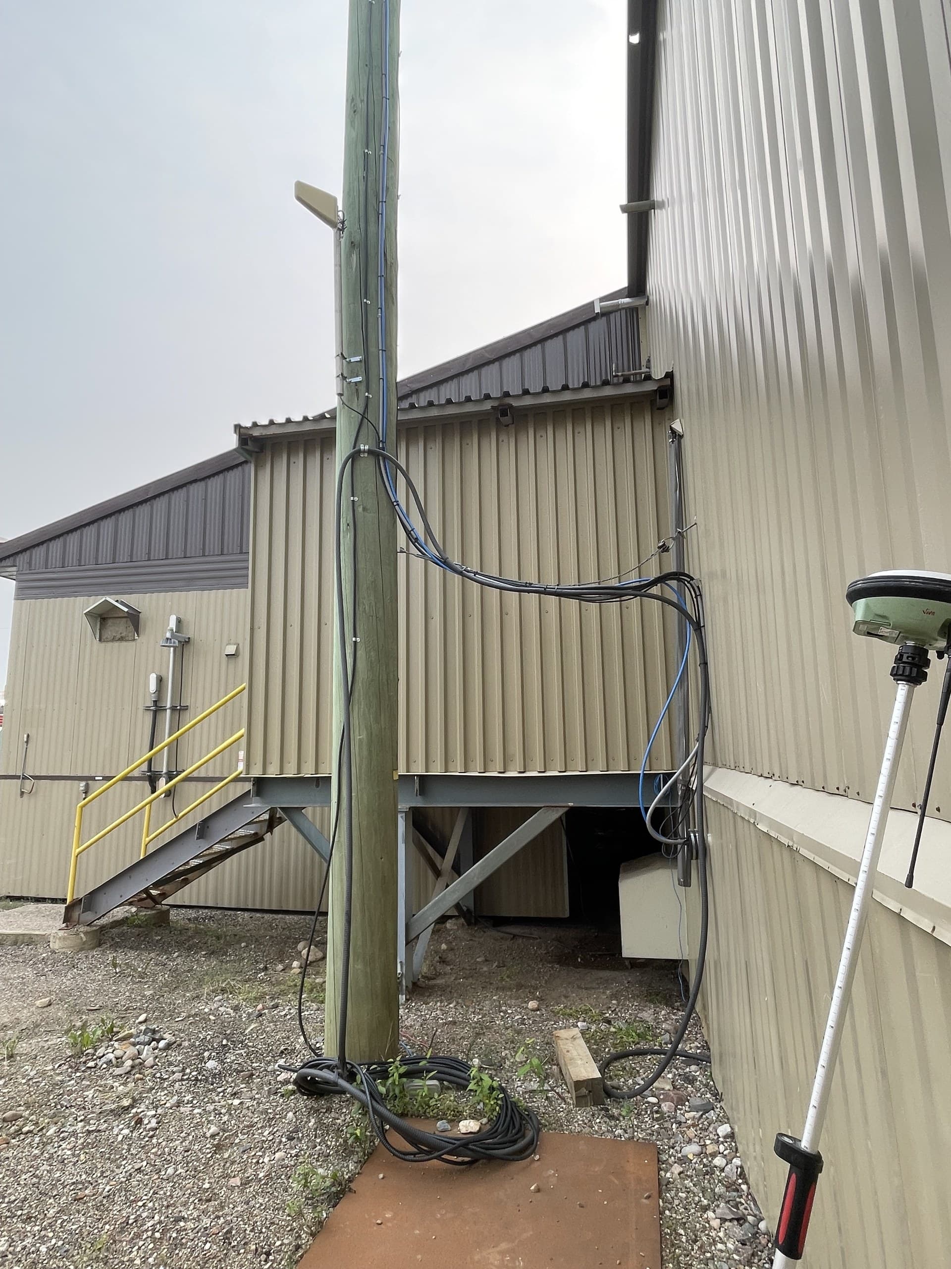
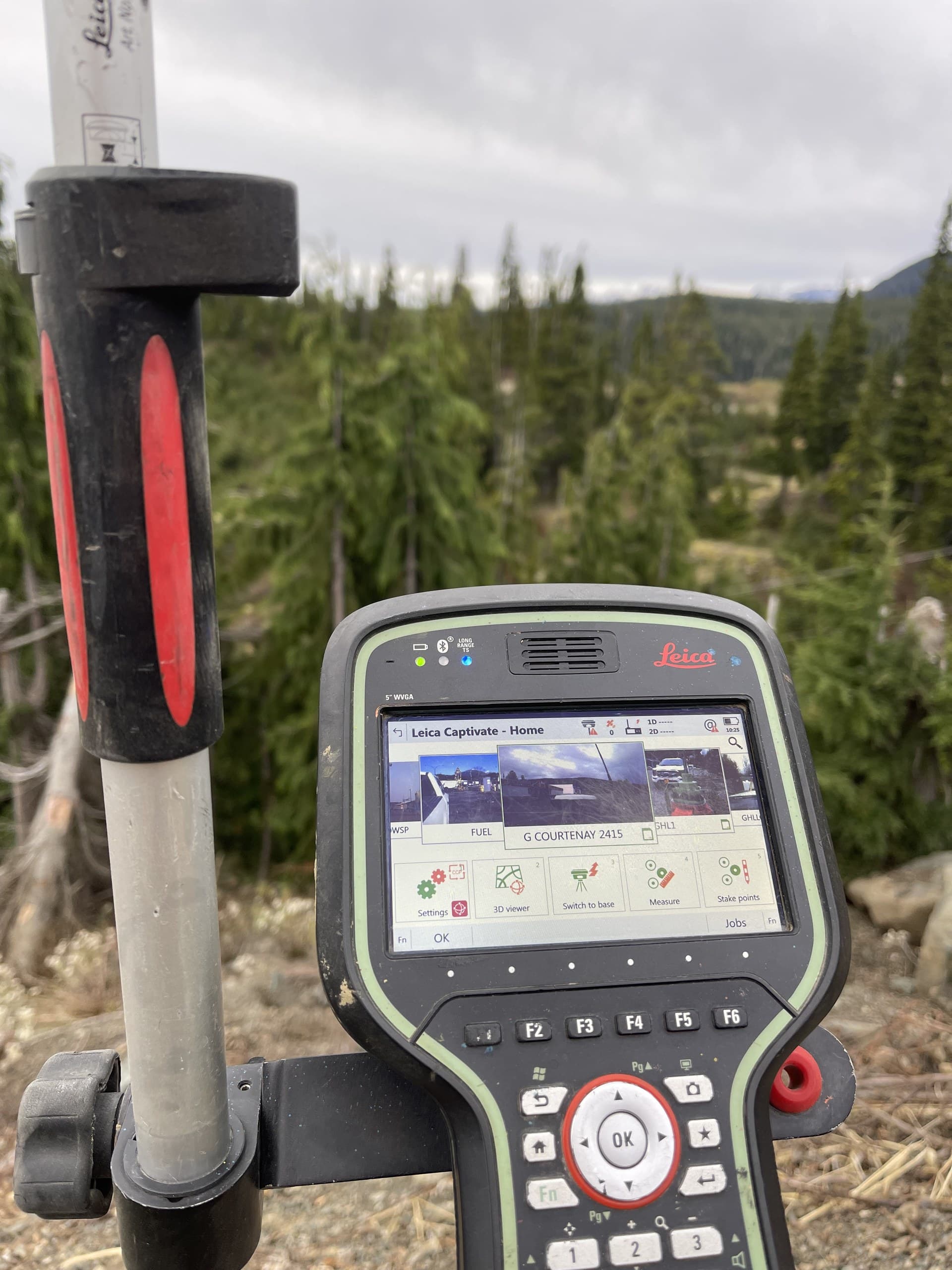
We collect accurate field data and turn it into drawings, surfaces, maps and models project teams can actually use, from excavation through final as-built.
Home Base
Rooted in Courtenay.
Working across the Island.
Vancouver Island Geomatics operates from Courtenay, in the heart of the Comox Valley. We know the local ground, the river flats, the hillside subdivisions, the working rural properties, because it's where we live and build our own community.
Courtenay's Central Island position also puts our crews within working range of projects up and down the Island: north through Campbell River to Port Hardy, south through Nanaimo to Greater Victoria, and west over the hump to Port Alberni. One base, one standard of work, Island-wide.
Vancouver Island Coverage
Based in Courtenay.
Serving the Island.
Vancouver Island Geomatics is based in Courtenay and supports construction, mapping and geomatics projects throughout Vancouver Island, from Greater Victoria to the North Island.
Explore Our Service Areas →North Island
Featured Projects
Real projects. Real impact.
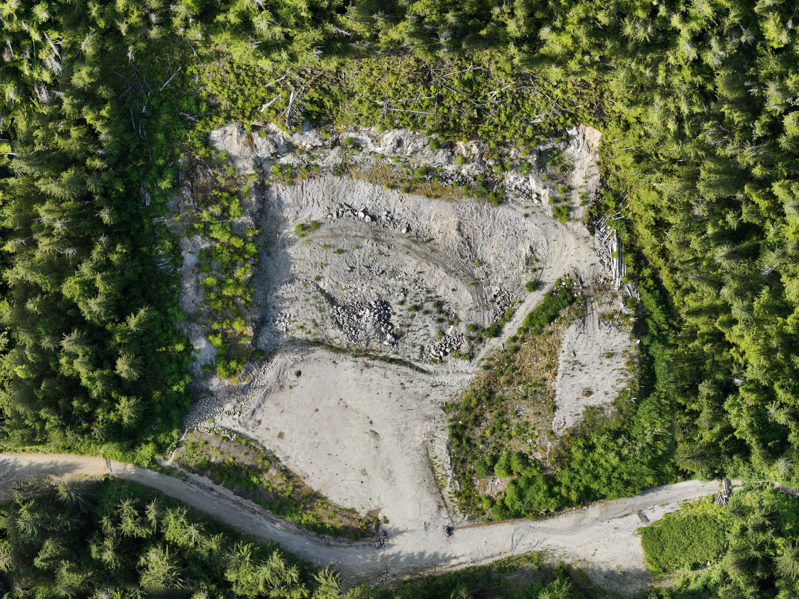
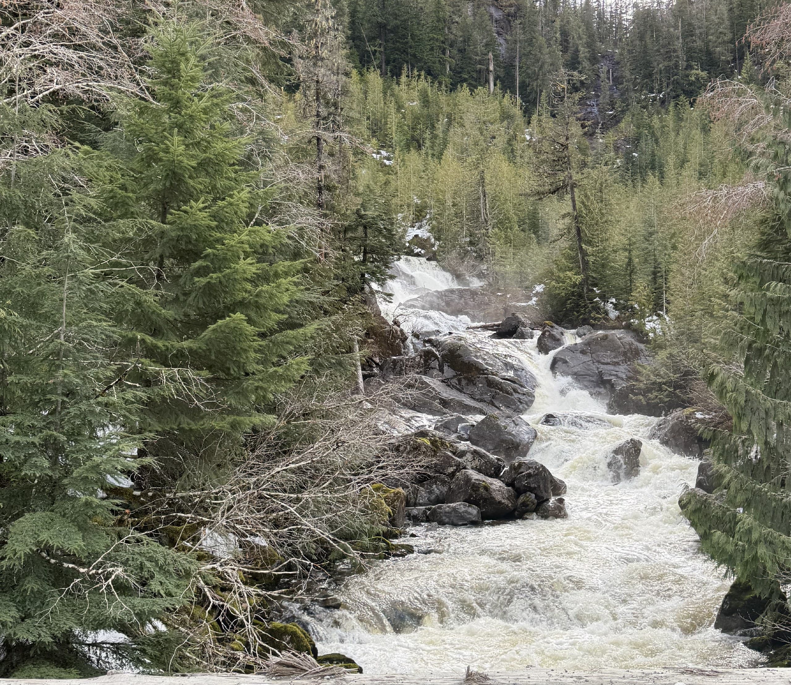
Deliverables
Data you can actually use.
Every survey ends as a file someone has to work with. We deliver in the formats your team already uses, organized, documented and checked before they leave our hands.
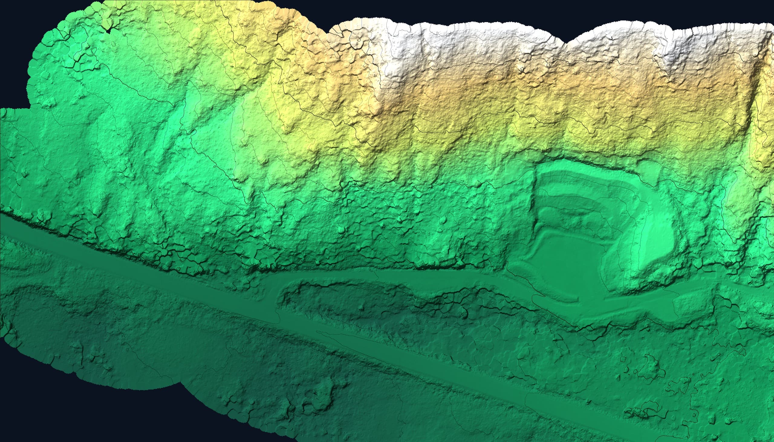
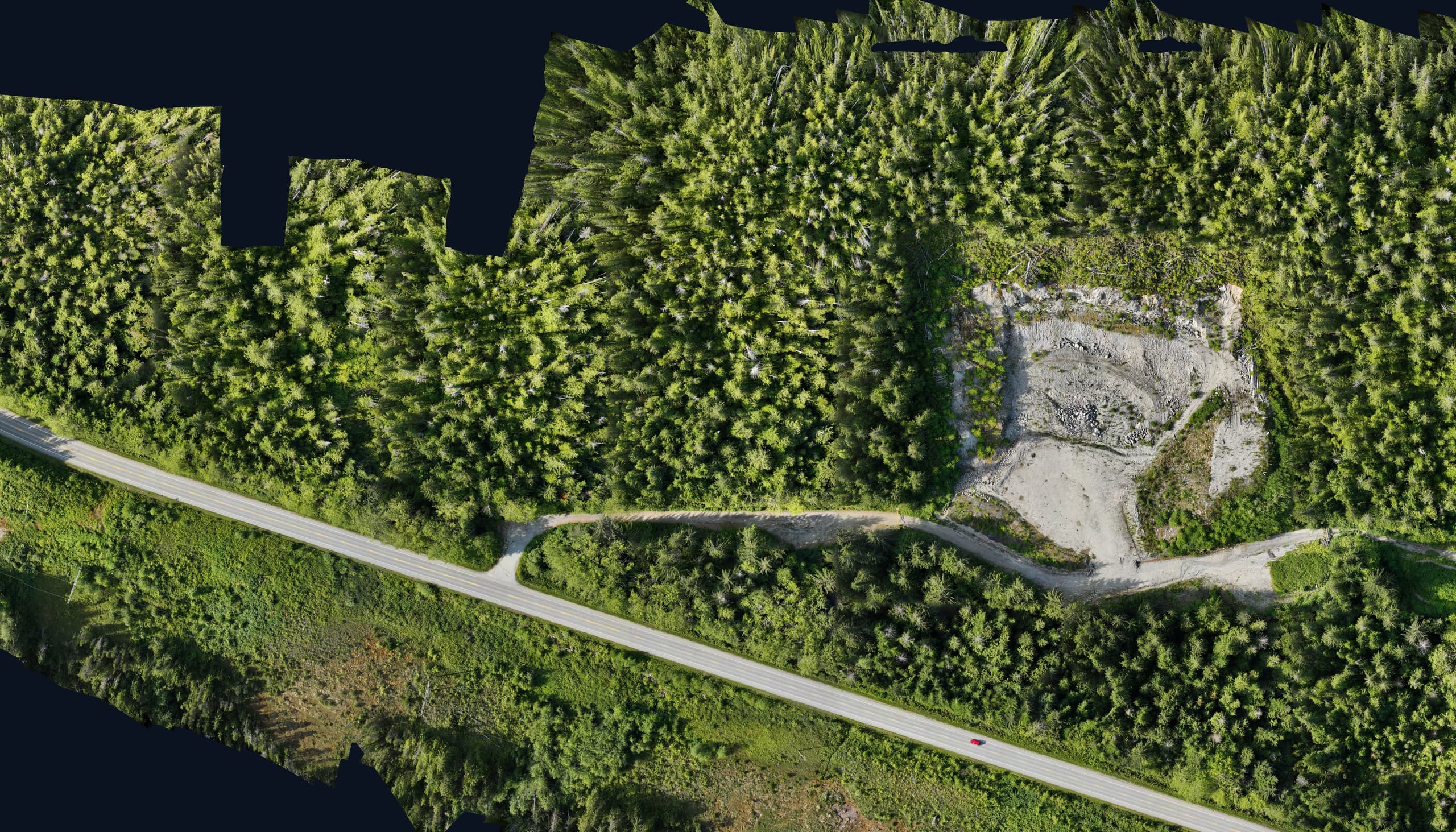
 Point cloud
 Cross-section
CAD drawings your engineer and designer can open and build on directly.
Stamped-quality plan sheets and figures ready for permits, tenders and the site trailer.
Georeferenced orthophotos that drop straight into CAD and GIS.
Classified point clouds from LiDAR and photogrammetry flights.
Ground surfaces built for design, drainage and earthworks calculations.
Volume reports and quantity summaries tied to real measured surfaces.
Structured layers with clean attributes for planning and asset management.
Field to Finish
The right tool for the terrain.
Survey-Grade GNSS
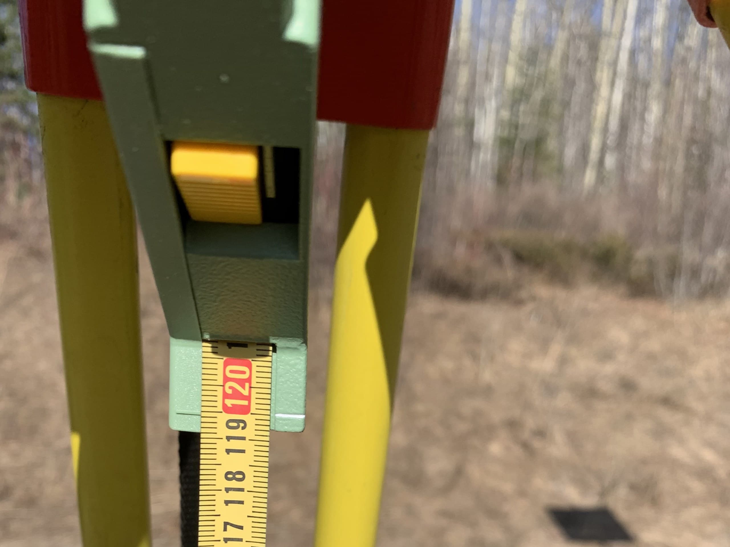
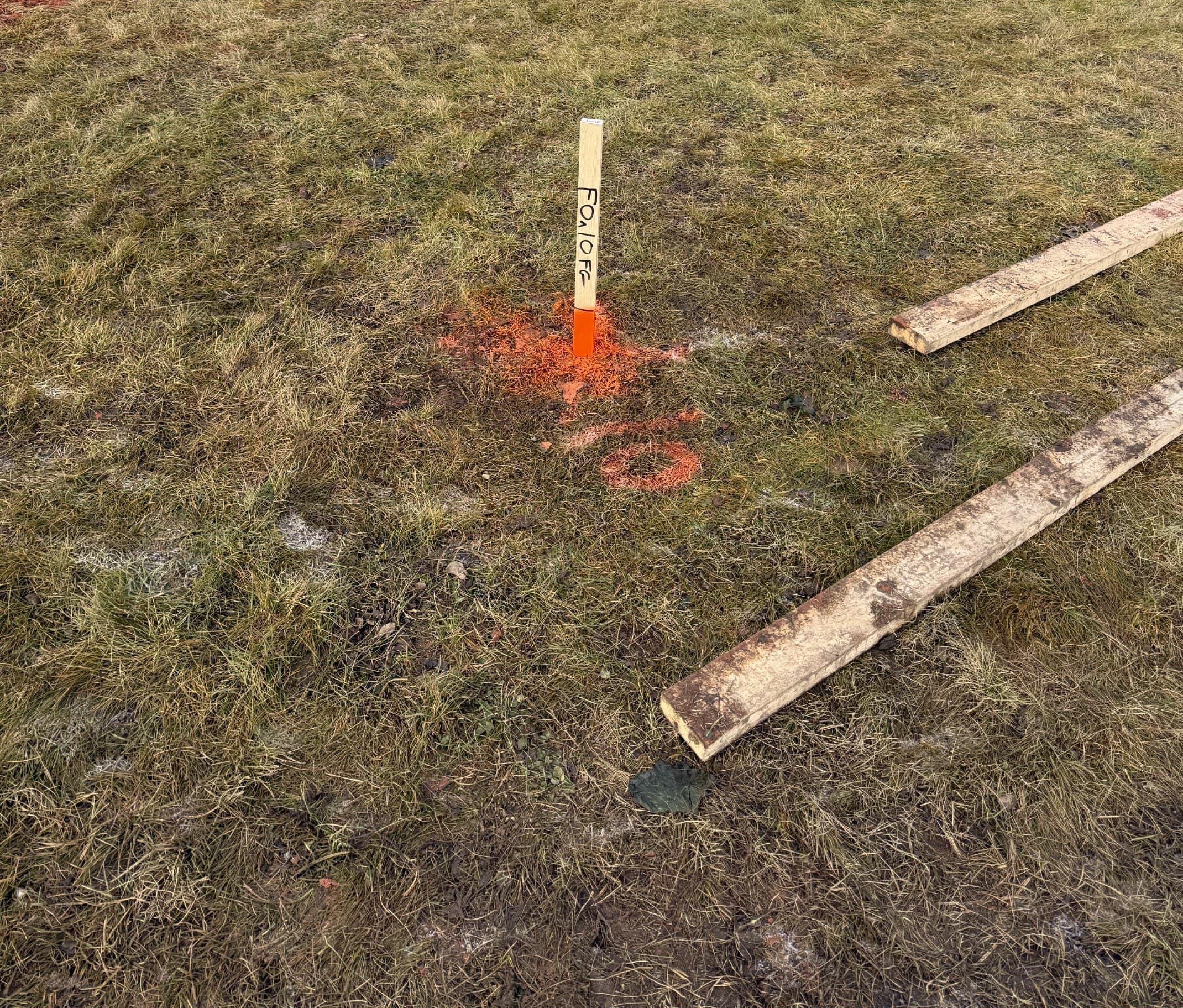
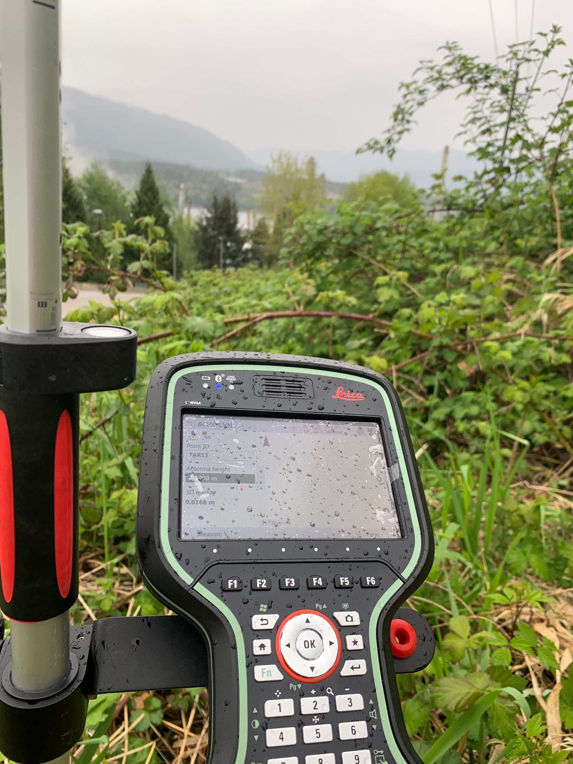
RTK positioning for control, topo and stakeout, tied to real coordinate systems, not app-grade GPS.
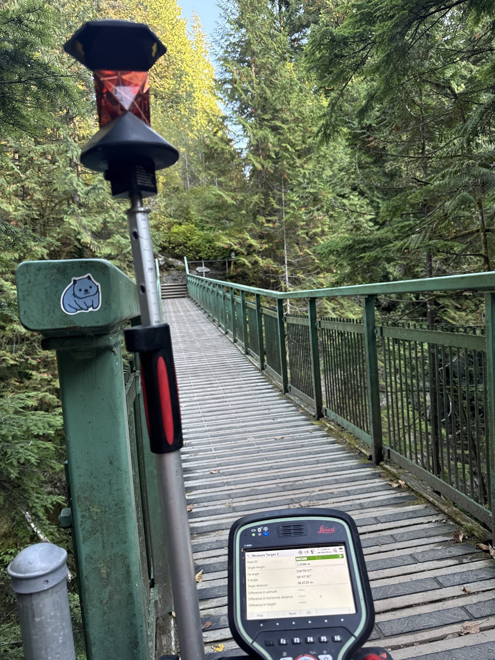
Robotic Total Stations
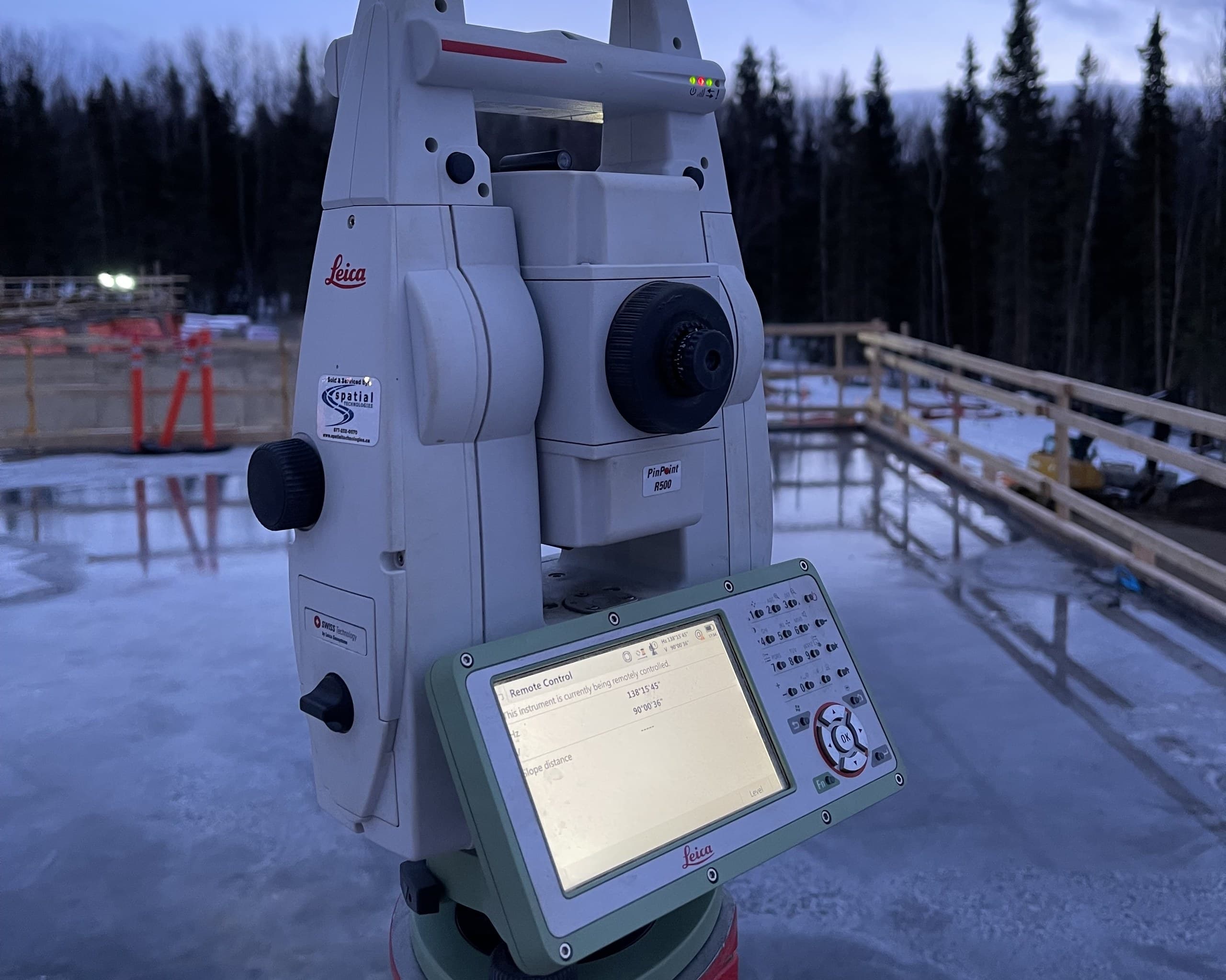
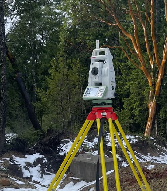
Millimetre-level layout and as-built measurement where GNSS can't see the sky, under canopy, beside structures, inside buildings.
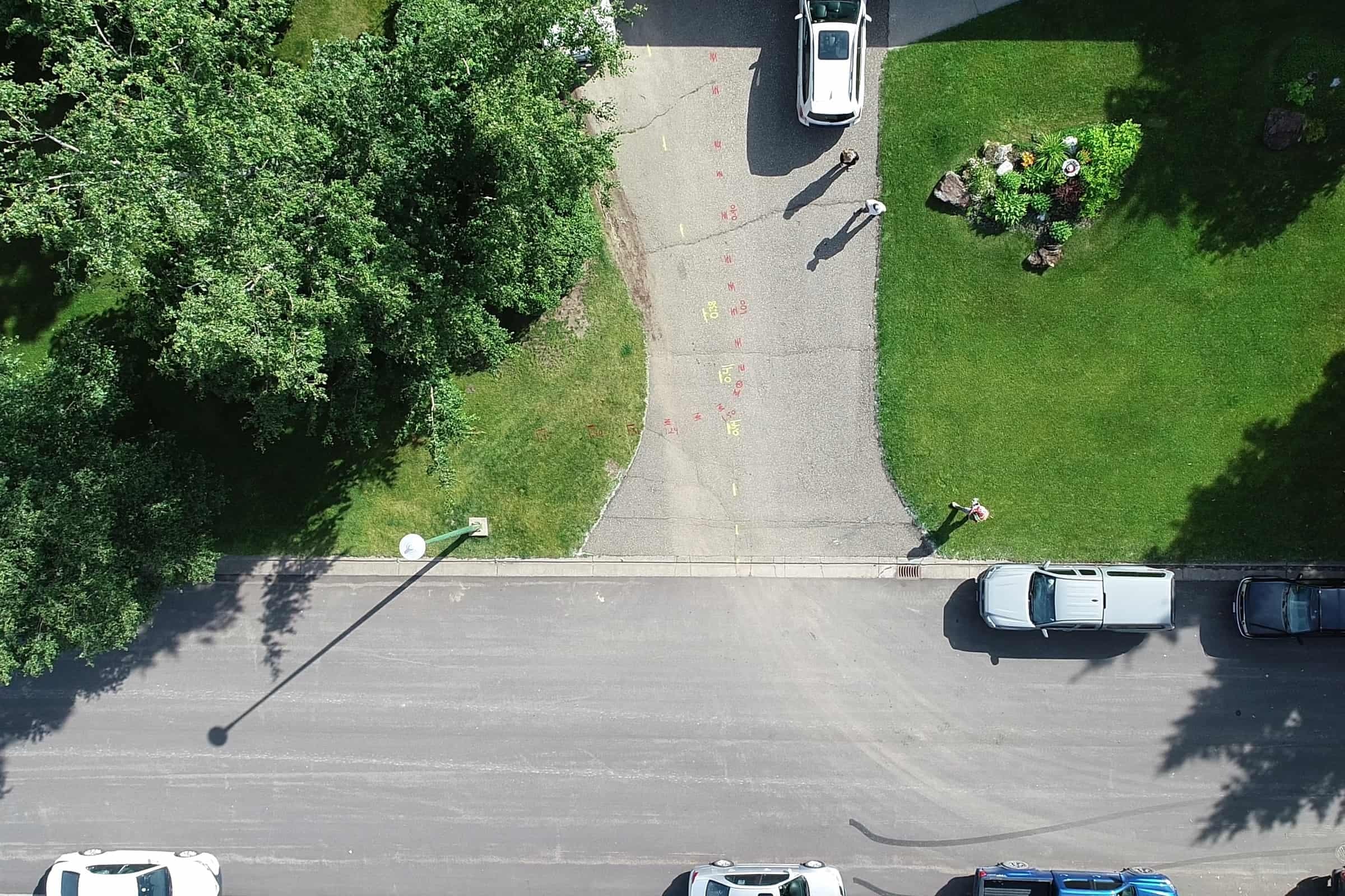
Mapping Drones
Photogrammetry flights that turn an afternoon on site into orthophotos, surfaces and 3D models.
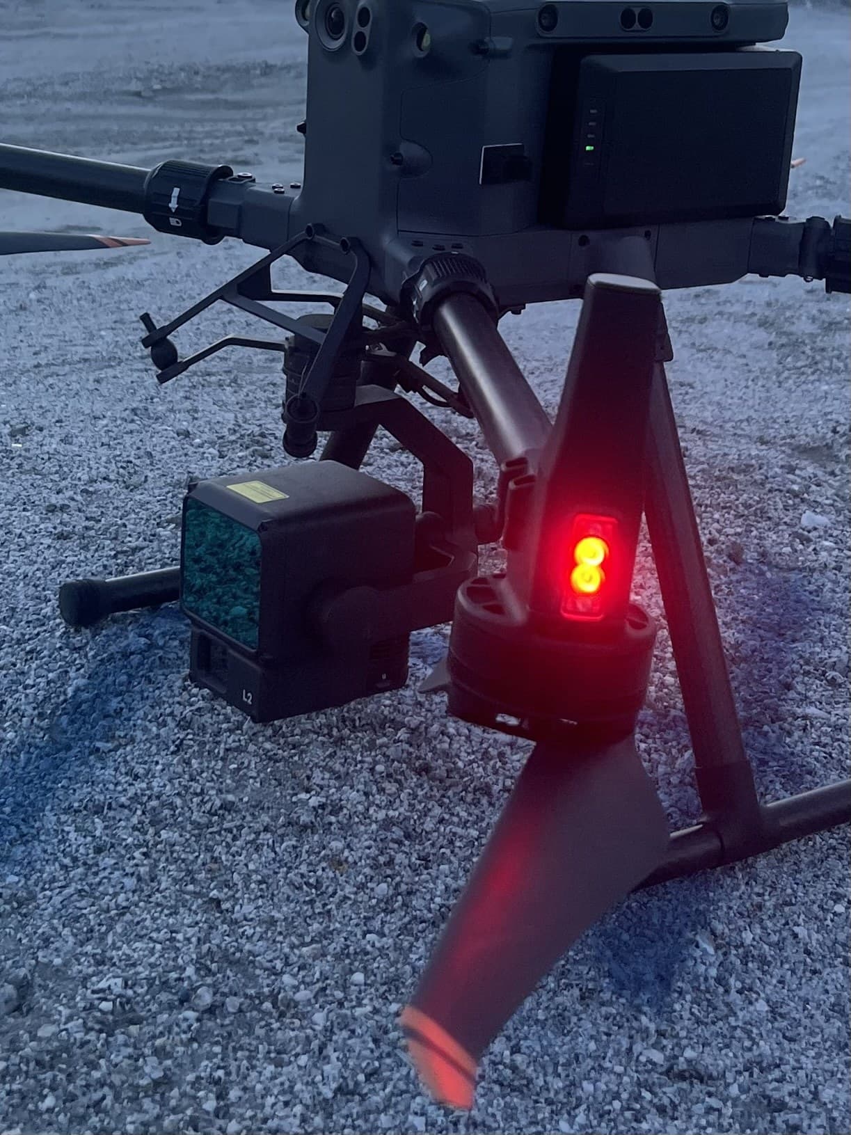
LiDAR Sensors
High-density laser scanning that measures the ground itself, even through Vancouver Island's heavy vegetation.
Processing & QA
Point-cloud classification, surface modelling and independent checks before anything is delivered.
CAD & GIS Production
Drafting and data production that match your standards, layer conventions and coordinate systems.
Where We Work
Project environments across the Island.
Civil & Infrastructure
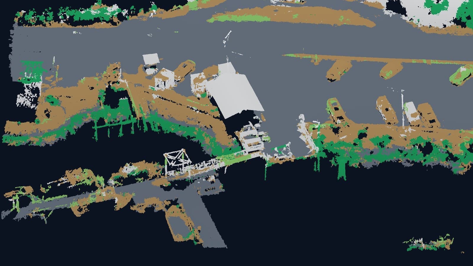
Roads, utilities, water and site servicing, layout, topo and as-built support through every phase.
Residential & Commercial Development
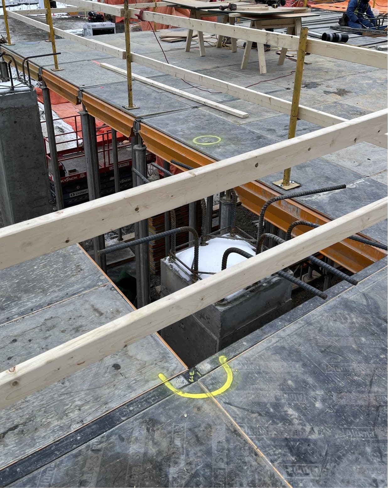
From raw-land topo to final as-builts on subdivisions, multi-family and commercial sites.
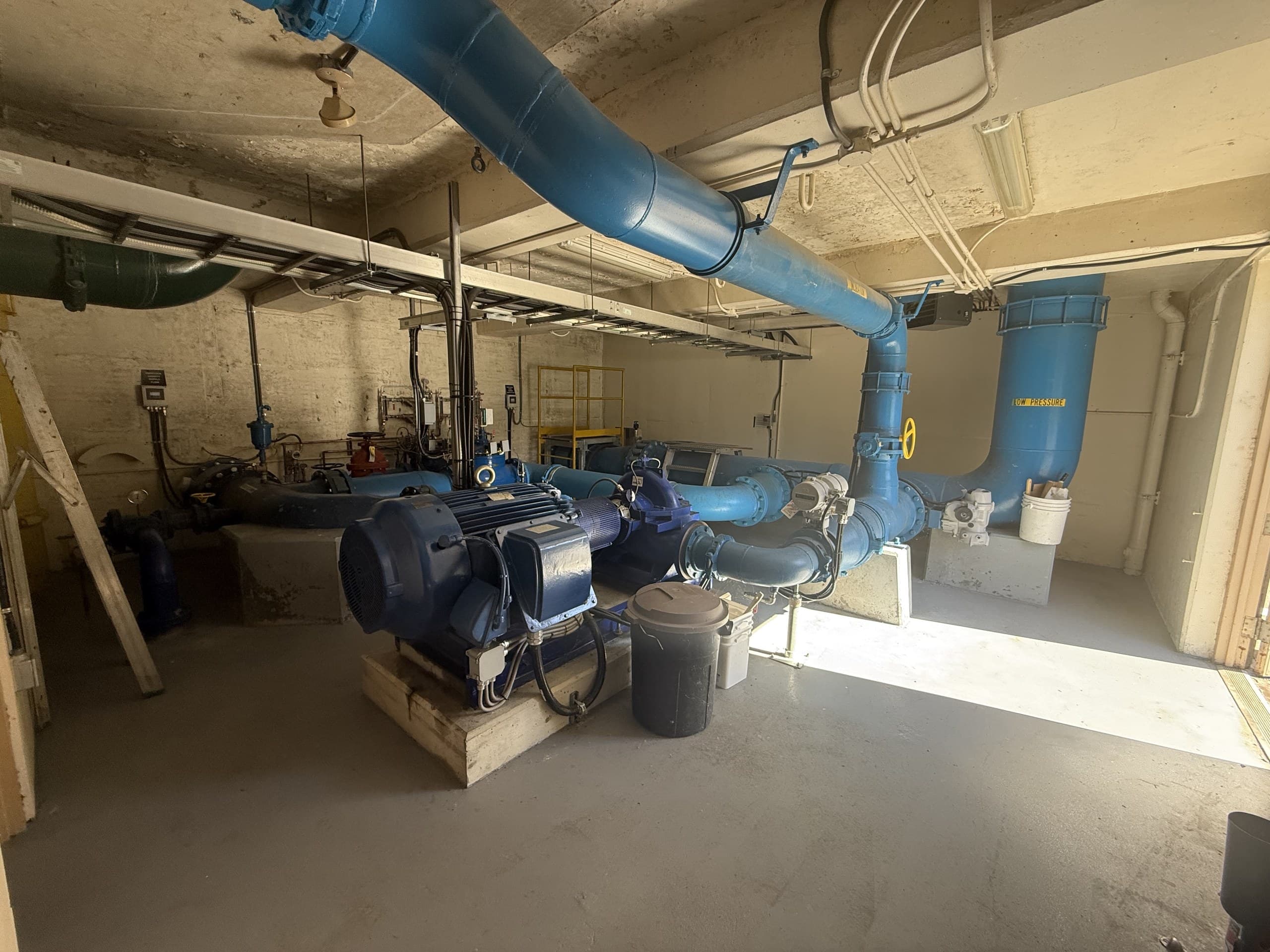
Engineering & Design
Existing-conditions data engineers can design on with confidence, surfaces, features and utilities.
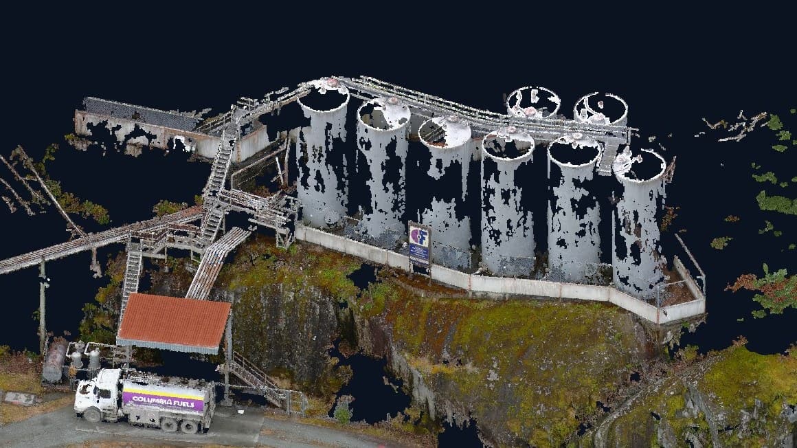
Industrial & Resource
Mills, quarries, forestry and remote worksites, including large-area drone and LiDAR mapping.
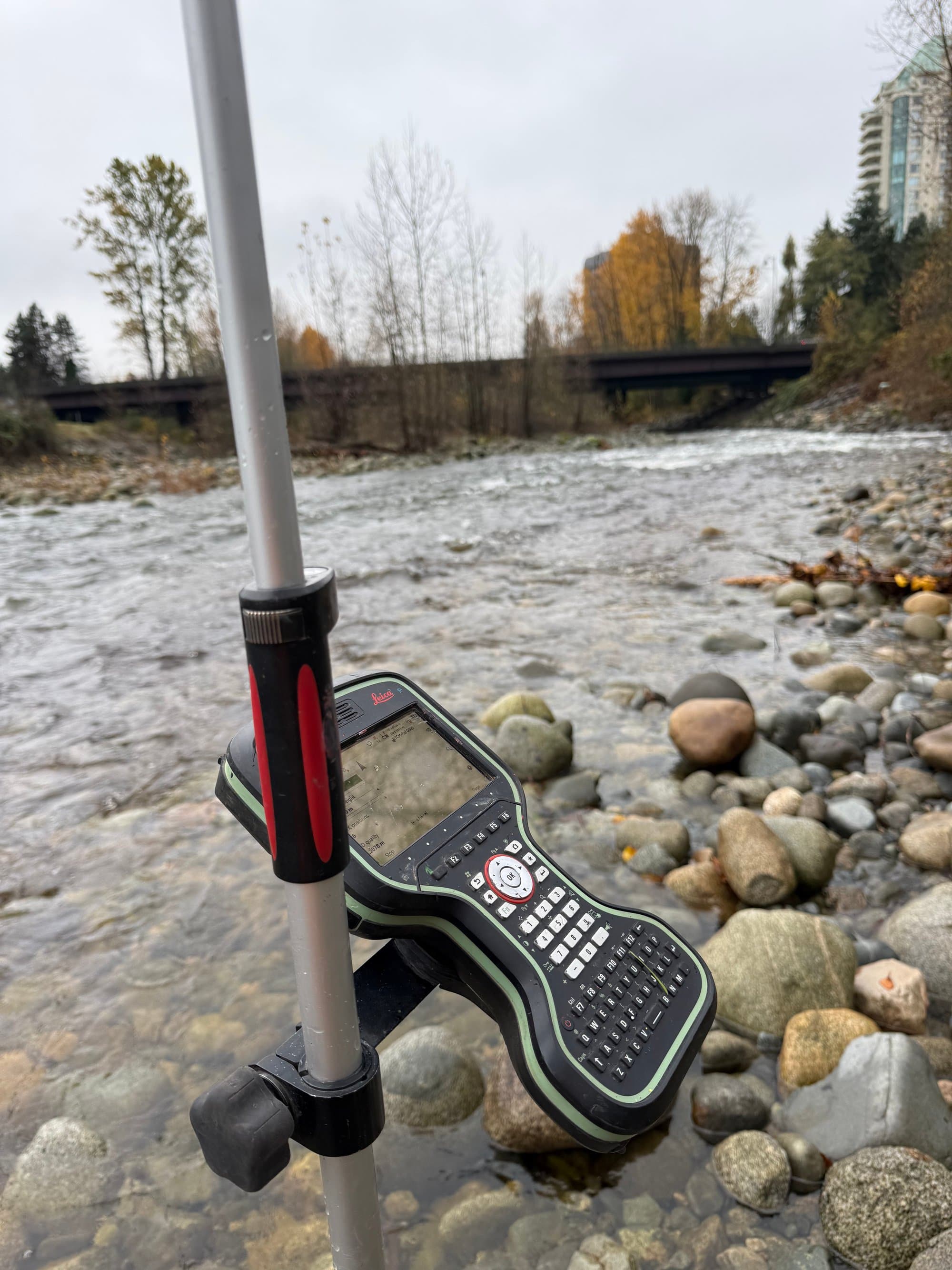
Environmental & Land Management
Terrain models, watercourse mapping and repeatable monitoring datasets for environmental teams.
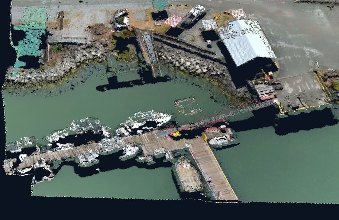
Communities & Local Government
Mapping and spatial data that supports public works, planning and community-led projects.
Engineering Surveyor Services on Vancouver Island
Engineering surveyors for Island projects.
Vancouver Island Geomatics provides engineering surveyor services across Vancouver Island: control networks, topographic and existing-conditions surveys, construction layout and grade control, as-built surveys, drone mapping, orthophotos and LiDAR terrain for civil, industrial, commercial, forestry, mining and environmental projects. Every dataset is delivered on a stated coordinate system, datum and accuracy, in the CAD and GIS formats your design team already uses.
We work directly with consulting engineers, project managers and contractors: topo before design, control and layout through construction, as-builts before the backfill, and LiDAR where the trees hide the ground. Rainforest canopy, coastal weather and logging-road access are planned into every job, so the data arrives on schedule. Based in Courtenay, working the whole Island, one crew and one datum from the first control point to the final drawing.
Insights
Field questions, answered.
Project anywhere on
Vancouver Island?
We support projects Island-wide, Greater Victoria to the North Island. Send the location and scope, and we'll reply within one business day.